


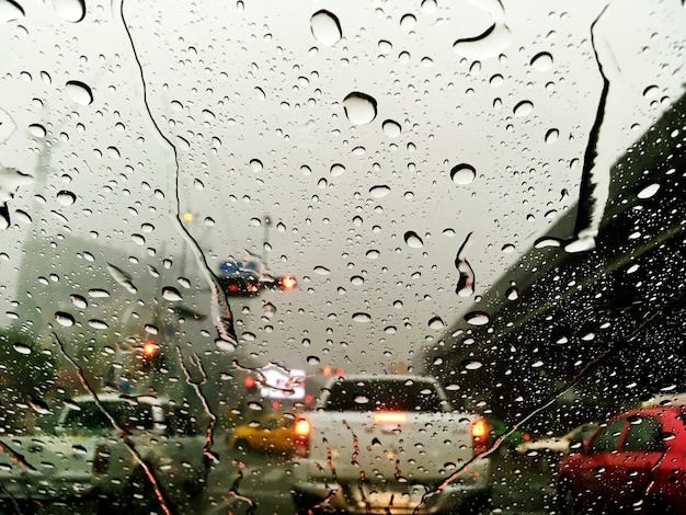
North Texas is being hit by multiple rounds of severe storms, including:
Damaging winds
Large hail (nickel‑ to quarter-sized)
Flash flooding in Dallas County and surrounding areas
Supercells spotted over Rockwall
A Severe Thunderstorm Watch remains in effect for much of the region, with additional warnings issued through the evening.
Central Texas: Tornado Risk & Heavy Rain Through the Weekend
A cold front is driving strong to severe storms across Central Texas, with the National Weather Service warning of:
Large hail over 2 inches
Damaging winds
Possible tornadoes
Flooding risk is increasing into the weekend
Rain chances rise to 80% by Saturday, then drop sharply by Sunday.
Statewide Emergency Resources Activated
Governor Abbott has activated emergency response teams, including:
National Guard
Search‑and‑rescue units
State emergency agencies
This follows forecasts of hail, tornadoes, and widespread storm activity across North, Northwest, and West Texas.
Panhandle & Amarillo: ‘Tennis‑Ball‑Sized’ Hail Possible
The Texas Panhandle faces some of the most extreme conditions today, with the NWS warning of:
Hail up to tennis‑ball size (≈2.5 inches)
70 mph wind gusts
Low but present tornado risk
Storms are most likely between 4 p.m. and midnight.
Central Texas Weekend Outlook (Austin & Surrounding Areas)
KVUE has issued Weather Impact Alert Days for:
Saturday → Sunday morning
Tuesday → early Wednesday
Expect:
Multiple waves of thunderstorms
Hail, strong winds
Flash‑flood potential
1–2 inches of rain, with isolated areas seeing 4+ inches
Statewide Snapshot (Temperatures & Conditions)
Dallas: ~78°F, patchy rain, breezy
Austin: ~76°F
San Antonio: ~75°F
Houston: ~71°F